


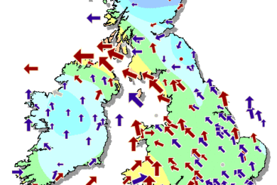

Many areas will be largely dry with spells of sunshine for a time, but north-east Scotland may have the odd shower. Cloudier and windy in the west though with spells of rain pushing in from the west.
Friday
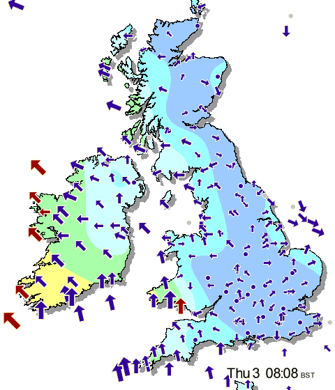
Rain in the south will tend to ease as the day progresses, allowing for largely dry conditions with variable cloud across the country later in the afternoon.
Windy in south Wales and southern England.
Outlook for Saturday to Monday
Saturday is expected to be largely dry with cloudy skies across the country. In the afternoon, a band of heavy and persistent rain will slowly edge in from the west. The rain will continue to move across the UK through the day on Sunday, easing later in the evening. As for Monday, there could be further outbreaks of rain pushing across the country.
Monday 7 October – Sunday 13 October
Unsettled weather to continue but feeling mild.
Heading into the first full week of October, the weather pattern is expected to keep things unsettled across the UK with low pressure tracks moving overhead or just to the north. It looks like low pressure will tend to remain near or over Scandinavia through the week, bringing frontal systems into the UK from the northwest. This will lead to a cooler picture for Scotland and Northern Ireland, but nearby high pressure to the south and southwest will tend to keep things a bit milder in the South and West.
It will likely remain rather unsettled across the country as frontal systems are expected to be frequent. Northerly or north-westerly winds will bring in cooler air, but there are no strong signals at this time for any wintry precipitation anywhere – it just won’t quite be cold enough yet. With high pressure nearby, a few drier interludes are likely between fronts, and these may be accompanied by a brief cold snap with more northerly winds, although these will be dry and sunny.
Confidence is a bit lower than normal for this range, as there is still a lot of uncertainty on how the atmosphere will react to the remnants of Hurricane Lorenzo in the previous week (which is helping to drive low pressure into Scandinavia). There is a 30% risk that the jet stream may not strengthen much as Lorenzo weakens, which will keep high pressure ridging stronger into Northwest Europe and the UK. This will push active frontal systems off to the north and low pressure into Scandinavia, leading to an overall drier but colder picture.
 .
. 