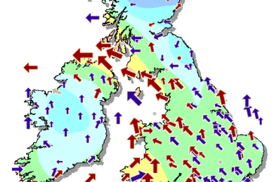
Sunny spells but a band of increasingly light and patchy rain will move south from Scotland, through Northern Ireland and northern England, reaching the Midlands and south Wales late on.
Monday 22 October—Sunday 28 October
Mainly dry but a little cooler than recent days
We mentioned in our last update that it looks like high pressure will become established to the west and south-west of the UK next week. This still looks to be the case, although there is still some uncertainty over how far east this ridge of high pressure will extend. At the moment, the most likely scenario is for the ridge to start to build over the weekend, and extend eastwards across the country next week. In fact, there are some indications that the high will drift eastwards later next week, moving closer to or across the country.
What does this mean for the weather? As you would expect, high pressure means that much of the country is likely to see a lot of dry weather next week. However, with the high pressure centered to the west of us, winds will tend to be from the north-west, which is never a warm direction at this time of year. In this case it does look as if temperatures will return to near or perhaps a little below normal for the time of year.
And whilst it looks predominantly dry, there will be the chance of weather systems skirting the northern periphery of the ridge of high pressure and bringing showers or rain to the north of the UK at times. If the ridge doesn’t extend quite as far east as we expect, then the showers or rain could affect more of the country, although that looks fairly unlikely at the moment.


